
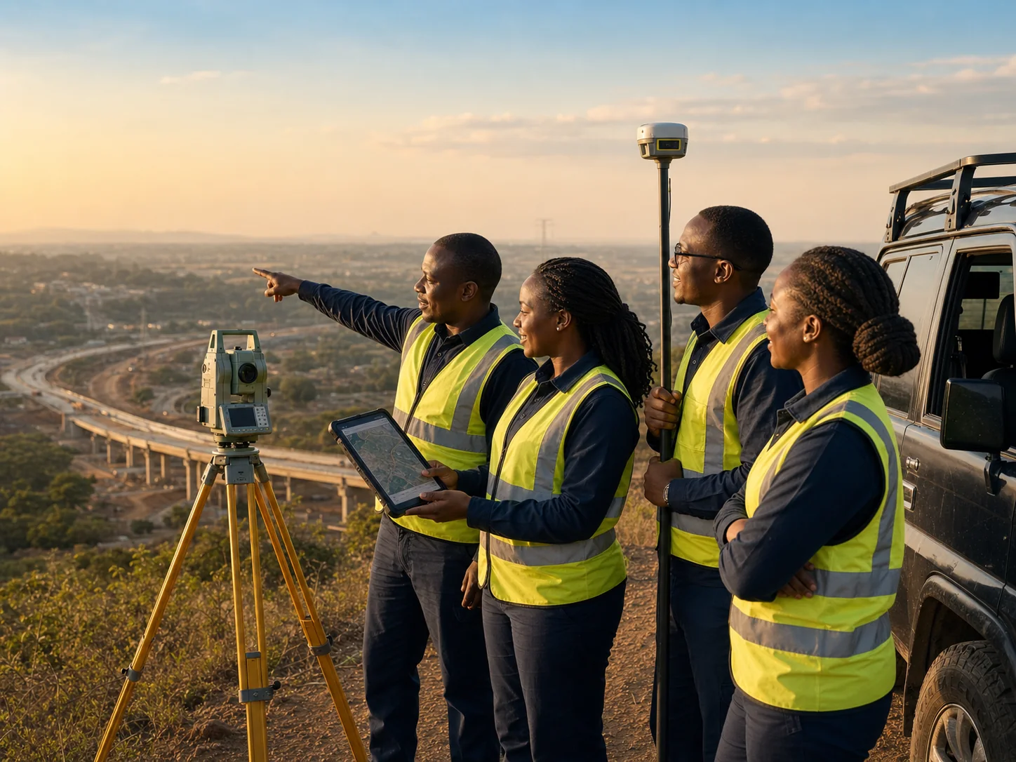
Starnep Geosystems is a land surveying and geospatial solutions company dedicated to delivering accurate, reliable, and innovative spatial data services. We combine advanced geospatial technology with professional excellence to support governments, businesses, developers, and communities across Africa in achieving sustainable development, secure land administration, and informed decision-making.
Our multidisciplinary team of surveyors and geospatial professionals is driven by a shared commitment to precision, integrity, and client-focused service — helping to shape smarter communities and resilient infrastructure, one project at a time.